 Steve and Nicola's exchange
 re: maps got me thinking about how I use maps in my Filofaxes. My opinion is, the more maps the better! I always seem to find myself needing a map.
In my very first pre-Filofax planner (a personal size Cambridge) I photocopied a map of the big island of Hawaii, where I was about to move, and poked holes along the edge with a sharp pencil to put it onto the rings. This is a technique I still use, actually, for maps that Filofax doesn't carry. In my
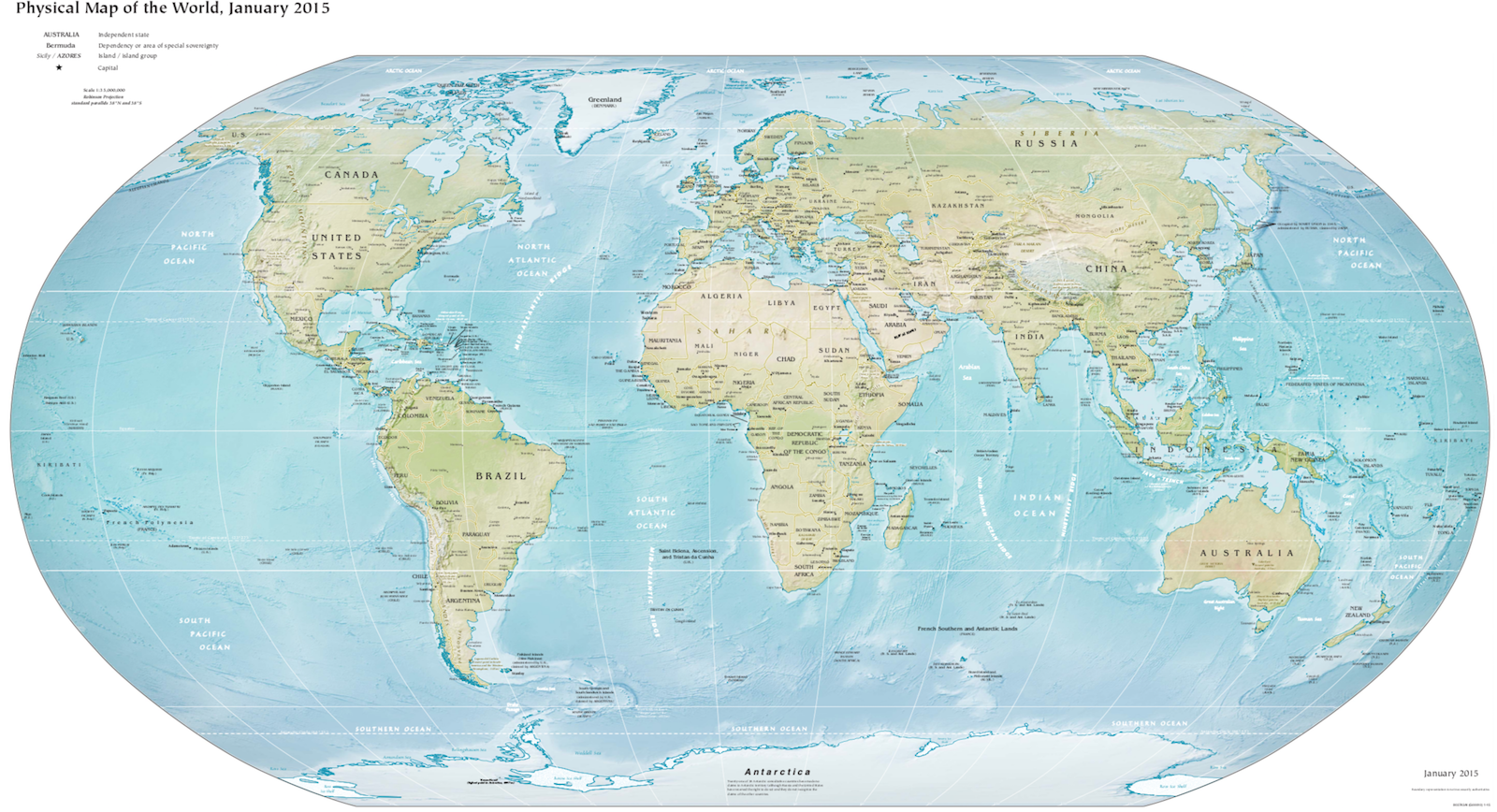
A5 Finsbury I have a map of Albania that I copied out of my guide book, for general road trips planning. Also in my A5 Fins I have an A5 Filofax world map and the A5 size British Islands maps (which I bought from the Filofax UK website), which are very useful when I grab my Filo to look up a location. My A5 lives by my computer so it's always handy.
In my
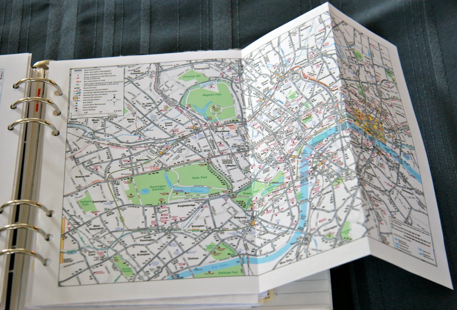
Scotland Filofax I have as many maps as possible. World map (actually I keep a world map in almost every Filofax I own), British Islands. I also have the Filofax maps of London (which consists of 3 maps that together comprise most of central London, with street names on the back) because I usually spend a day in London on my way up to Scotland. I also have the London rail systems and Underground map, which is very handy. I also have a map that has Edinburgh on one side and Glasgow on the other, that I cut out of the free Letts Scotland diary that came in The Scotsman newspaper in January. I sliced the page out of the diary, put some tape on the edge, poked some holes and into the Filo it went! Very handy.
In my
black Buckingham I store my US maps for when I go back to visit family and friends. I have a US road map (which in the personal size is so tiny it couldn't really get you anywhere, it really just gives you an idea of which highway would be better to get you across the state or the country) and a US times zones and area codes map. I also have a Washington DC street map, which I used all the time when I lived in DC. I usually go through DC whenever I go back to the US so it's convenient to have it in my Filo.
In my
Deco, which is now my everyday notes/ lists/ addresses/ everything except my planner book, I keep a world map and my ancient Europe map (which is so old it still has Yugoslavia!). The people I know travel a lot, and to places all around the world, so usually during the course of a conversation I need to look at a map to see exactly where they are talking about. I have learned more geography this way than I ever learned in school!
The problem with Filofax maps is, there just aren't enough of them. As Nicola discovered, there aren't enough of the city maps. (And actually I'm shocked that they don't have Toronto! But sure enough, they don't.) I understand that Filofax only carries maps that they believe will sell well. And I know in this day and age it's maybe a little archaic to use paper maps at all (although after hearing some people's GPS navigation stories, I don't trust those things at all!!). But being a paper-person, and a maps-person, I do wish they had more maps available.
Do you use maps in your Filofax(es)? Which maps do you wish Filofax had available?


