
Maps do go out of date, the maps I bought originally for my first Filofax in 1987 still had East and West Germany on them!

So maps are essential to me in any size of organiser.
I was recently asked if I knew of a source of world maps for Pocket size organisers and could I create one. Not difficult once you have a reasonable quality map image.
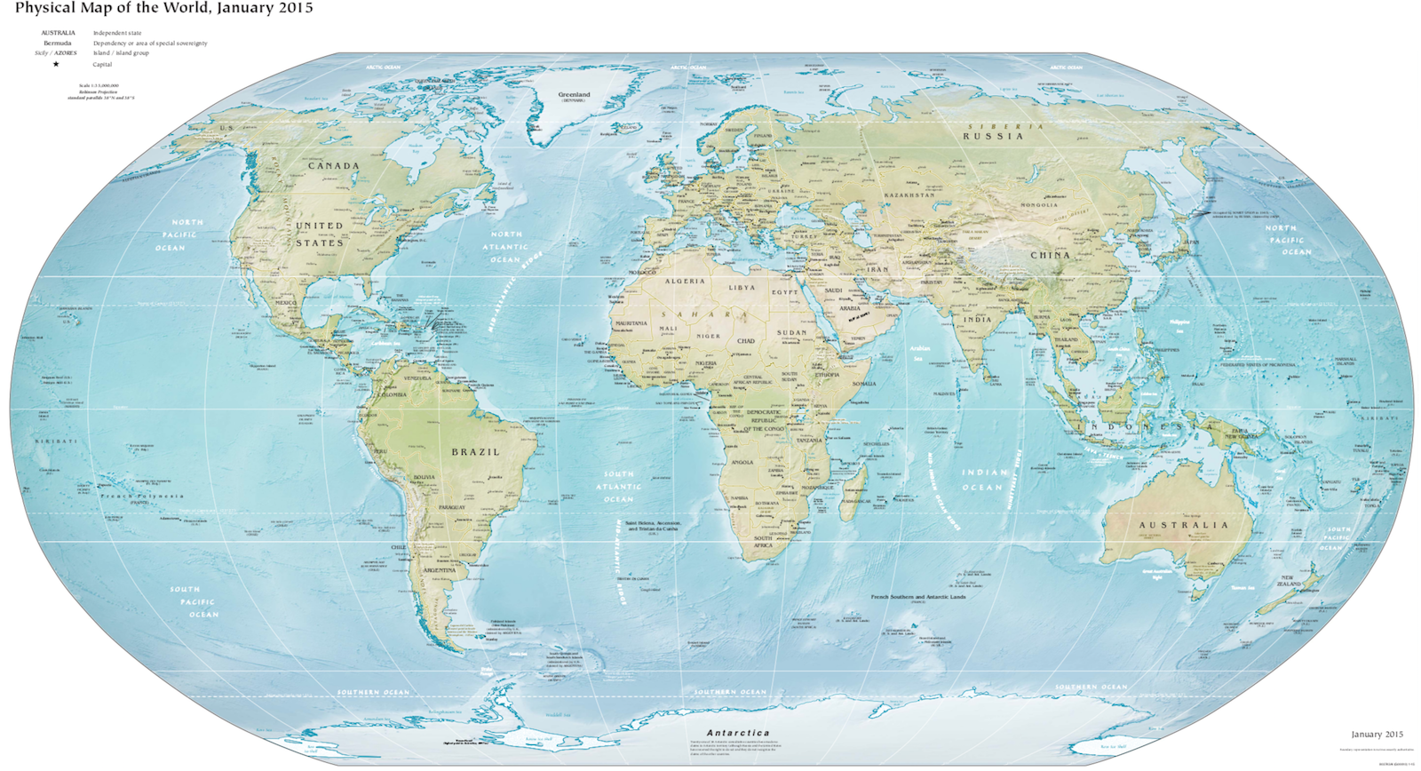
So here are some for you to download and print yourself. A world physical map and a time zone map.
World Map
Time Zone Map
Printing the above:
- A5 Print on A4 size paper then fold in half and fold back to the edge (Z fold)
- A6 Print on A5 size paper then fold in half and fold back to the edge (Z fold)
- Personal Print on A4 size paper cut to 171 mm high then fold in half and fold back to the edge (Z fold)
- Pocket Print on A4 size paper cut to 120 mm high then fold in half and fold back to the edge (Z fold)
If you want to use the PNG images for say a dashboard or divider they are here.

I recently put all my Filofax maps in one personal compact. There are a couple of specific places I would like the maps for so I will use your templates. Thank you.
ReplyDeleteThanks for the A6 version Steve!
ReplyDeleteThese will look cool in my organiser, even if they won't be really useful :)
ReplyDeleteThere's a dot missing in the URL to the TimeZones.png map.
(you can remove this (part of) comment once the link is fixed...)